April 3
Area:
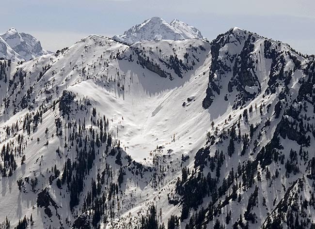
Park City ridges
Elevations, slope angles and aspects:
7500’-10000’, angles to 40°, all aspects.
Avalanche activity:
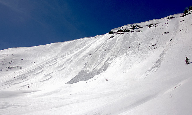
Rollers and point releases on mainly east southeast facing, the result of the fizzled storm on Sunday night-Monday morning. West Monitor,

Reynolds and the catchers mitt on Kessler.

Those must have run yesterday as no activity was observed today.
Slopes skied:
South Monitor east facing, West Monitor east facing, southwest facing Willow and north facing off the west Desolation ridge, out Mill D north fork.
Snow surface and conditions:
Snow was well frozen, but minimal from the lower Solitude parking to the Will’s hill ridge. Coverage better on the shady aspects of the Monitors, minimal on southerly and off aspects. The inch or so of snow from the recent storm was settled and almost melted into the old pack except on the most shaded aspects. Those shaded aspects also stayed crusted into the late afternoon, with breakable crust over dry settled snow found on the west Desolation ridge north facing at 4:30 pm. Coverage dwindles to almost zero, with descent down Mill D north fork.
Weather:
Bluebird with increasing high clouds in the afternoon. Winds from the south and west at times, less than 15 mph. Temperatures remained cool throughout the day.Evaluation:
Snow conditions seem more like late than early April. Snow is well consolidated and avalanche activity is almost zero, with the exception of rollers and point releases observed. I’d expect a stable snow pack, with isolated wet activity until warming or a storm change things.
© wowasatch.com